The Magic of Calvert Island
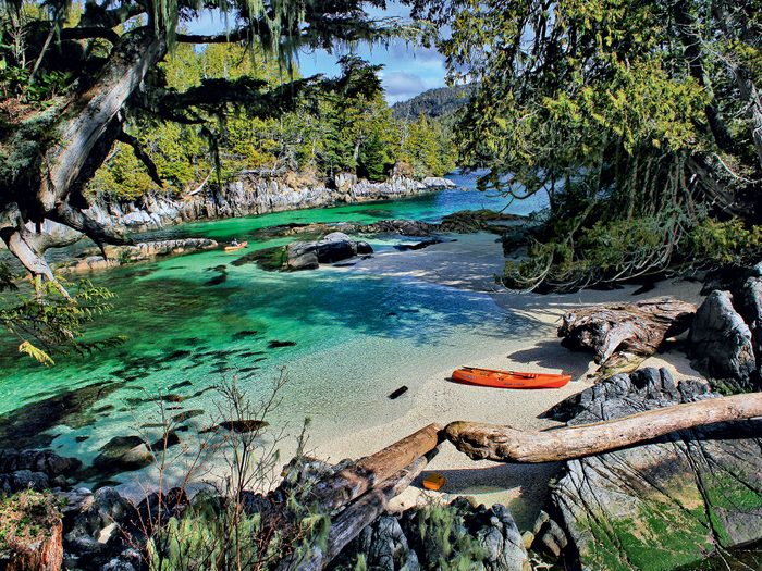
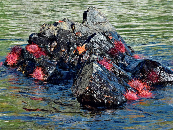
Imagine paddling across intricate networks of isolated coves, crossing secluded bays and remote lagoons or drifting over undersea gardens of purple, red and green sunflower stars with sea urchins edged with emerald-green surf grass. Envision smelling, listening and seeing the spray of the whales in your wake; hiking through the forested canopy, winding up to plateaus of soft vegetation high above the Pacific Ocean; or looking over a natural Japanese-style garden watching the sun sink into the ocean floor. The spiritual uplift you feel at this moment releases all the pressures from everyday life, like a transformation into time.
This remote hidden jewel is Calvert Island, located on the southern edge of the Great Bear Rainforest, just 400 kilometres north of the city of Vancouver. The island has brought people to the area for more than 10,000 years for the seafood. History, cultures and tradition have revolved around the fishing, and the salmon has been responsible for the economic development of communities on British Columbia’s midcoast.
The Calvert Island Story
Captain George Vancouver and Lieut. James Johnstone’s crews mapped the Inside Passage on their vessels Discovery and Chatham. The men spent nine days anchored in Safety Cove, on the east side of Calvert Island, surveying the surrounding shorelines in their longboats looking for an inside passage route. In 1793, Sir Alexander Mackenzie and his voyageurs finished their historic land crossing of the North American continent to the Pacific Ocean. These two legendary expeditions missed each other by only three weeks that summer exploring British Columbia’s midcoast, thus opening up the pristine wilderness to the world.
For more than a century, celebrities have been travelling to Calvert Island in their motor yachts for the legendary fishing and safe anchorages, hiding out from the storms and hurricanes generated from the 7,400-kilometre crossing from Japan.
Discover more essential experiences on Canada’s west coast.
Calvert Island’s Trail System
Calvert Island is only 32 kilometres long and 15 kilometres wide at its widest point. The thick vegetation combined with the boggy, open wetlands make hiking off the trail systems difficult to almost impossible for the average hiker. Mount Buxton is the highest point on the island at just over 1,000 metres. Visitors travelling to Calvert Island by boat anchor on the east side in the protected waters of Pruth Bay. Once on land, you can hear the surf on the west side.
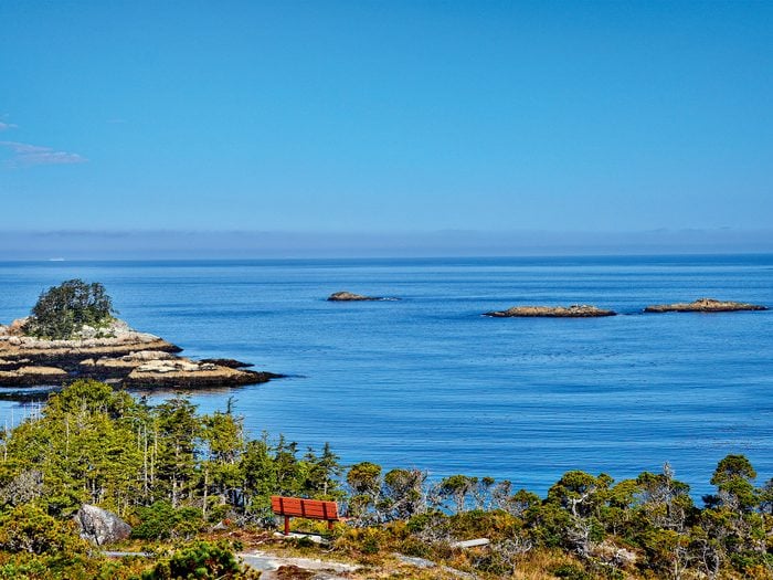
The trail has changed location and been rebuilt over the decades and it is now only a 15-minute walk to West Beach. At the south end of this beach is a new set of hiking trails that climb up above the cliffs to lookouts (Barons Bluff) and viewpoints over the Pacific Ocean, and then descend to the shoreline to a series of remote white-sand beaches. Under the right conditions, you would think you were in the tropics.
Check out the best beaches in Canada, as voted by you!
Life on Calvert Island
We lived on Calvert Island for three winters, upgrading old trails to the west side and north end of the island, and building new trails to the south.
Hiking with our packsacks loaded with ropes, a machete and camera gear, we climbed above the temperate rainforest to Barons Bluff and viewpoints beyond to capture the breathtaking images of landscapes, storm waves and stunning sunsets.
Island traditions are slowly changing; people today are coming for the remote outdoor wilderness, as well as the opportunity to learn about the marine environment and see firsthand what is needed to protect this diverse ecosystem for future generations to enjoy. You are completely off the grid here; the island is accessible by water and air only.
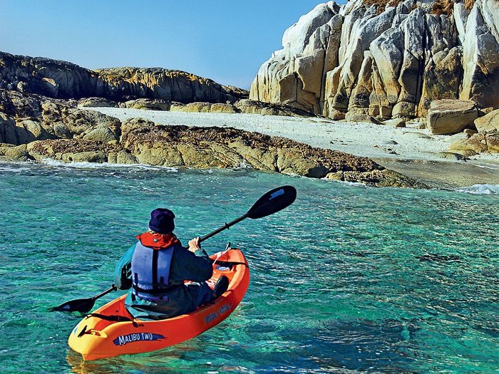
This area has turned into a world-class paddling and diving destination, just as it was thousands of years ago. But instead of coming to the island for the shellfish gathering, and getting their winter supply of fish, people are coming for the kayaking, hiking, educational experience, scenery and sportfishing.
Explore more great hikes across Canada.
Calvert Island’s Diverse Landscapes
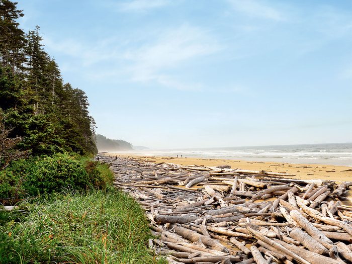
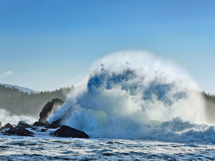
The shoreline on the west side of Calvert Island is fully exposed to the forces of nature. Tree trunks are twisted, stunted and bent inland from the winds off the Pacific Ocean. The sand on the 12 beaches is so fine that it squeaks when you walk. The landscape is rugged, swampy and harder to climb in the monsoon season, starting in late November. But the good news is this is the start of the storm and hurricane season, which produces big surfs brought in from the weather systems out in the Pacific Ocean.
For us, a cloudy day on Calvert is better than a sunny day in the city. If one image is worth a thousand words, then there are not enough days in a year to write about the pristine natural beauty we have witnessed living on Calvert Island. Since the completion of our trails in 2000, B.C. Parks, the Tula Foundation and the coastal First Nation communities have taken over and replaced our bridges, boardwalks, ladders, ropes and benches, and rerouted the trails and converted this into a first-class hiking destination for visitors. The Tula Foundation started a learning centre for universities on Calvert Island and is full to capacity most of the year.
Discover more hidden gems in B.C.
Truly the “Canadian Caribbean”
Calvert Island is one of the few places where we can have a sandy beach to ourselves on a remote island in the Pacific and watch a spectacular sunset, or sit on the surface of a clear lagoon watching the sea life come alive through the glass window on the bottom of our kayak while fishing for our daily seafood dinner platter. This is the “Canadian Caribbean.”
Now that you’ve added Calvert Island to your bucket list, discover 10 more places in Canada every Canadian needs to visit.